Maps
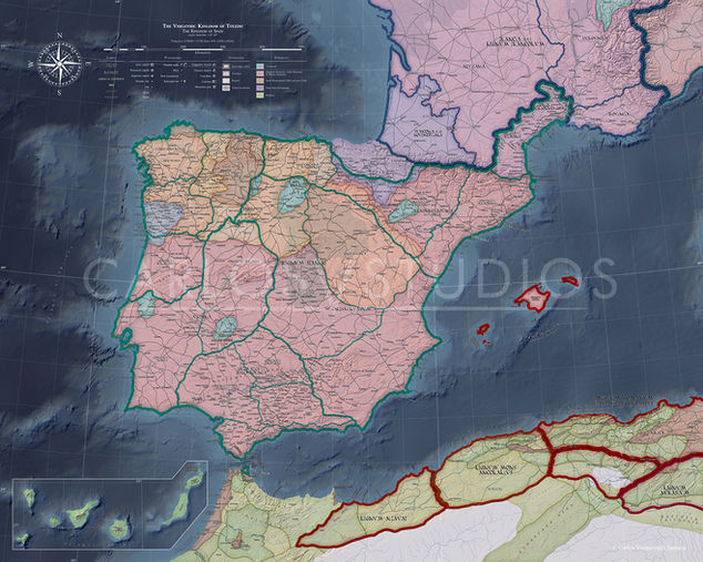
Historical maps are labelled in their native and contemporary languages to be as faithful as possible to the many ancient sources I have used, and with fonts developed by me to write in their respective writing systems. The maps are highly detailed—featuring around 2,300 toponyms in the map of the Visigothic Kingdom and around 1,200 in the map of the Sasanian Empire—with a wide variety of toponymic types represented in both cases (political: such as populations, fortifications, districts, provinces, countries and ethnic groups; and physical: such as mountains, mountain ranges, deserts, rivers, lakes and seas). The base maps have also been developed by me from DEM data. In addition, geodata have been modified to correctly represent historical toponymy.
Do not use without explicit permission. All images shown on this website are owned by me, the author, and are protected by copyright.
Note: Maps has been intentionally scaled down to a non-legible resolution for web display, to protect the detailed work.


